Habitat Modification
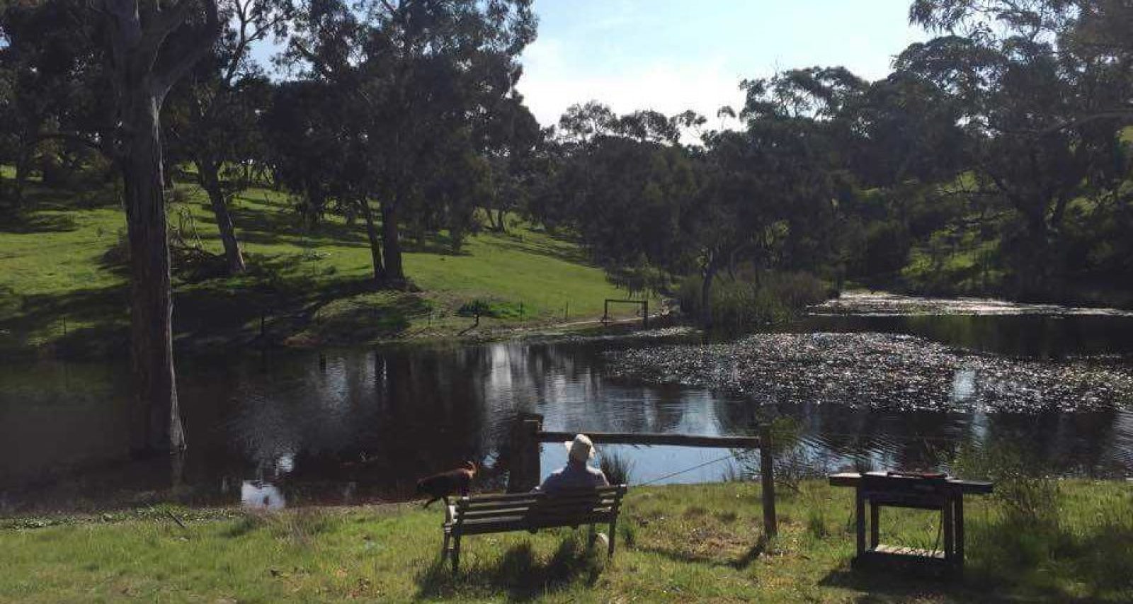
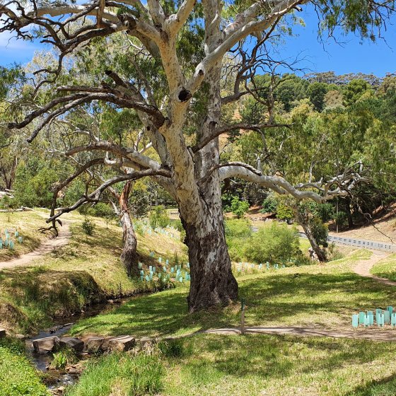
Riparian Vegetation Loss
Pressures
- Damage or loss of vegetation along watercourses, for example, from grazing, overspray, fire and illegal clearing.
Impacts
- Loss or disturbance of riparian vegetation increases the water temperature of streams, increases erosion and decreases biodiversity through loss of migratory corridors for insect species and other fauna.
- Riparian vegetation clearance or disturbance from stock or human access may result in increased stormwater runoff during rainfall resulting in nutrient and sediment inputs into waterways.
- EPA Aquatic Ecosystem Condition monitoring demonstrates that waterways that contain riparian vegetation along the banks support healthier ecosystems.
Responses
- Water affecting activity permits under the Landscape Act 2019 may be required for any activity that proposes to destroy vegetation in a watercourse, lake or floodplain.
Opportunities
- Facilitating the revegetation of watercourses and riparian land. A guide has been produced by the Northern and Yorke Landscape Board to support these activities.
Water Diversion
Pressures
- Addition of dams and other water collecting infrastructure.
Impacts
- Construction of dams may result in the release of sediments and other pollutants into waterways.
- Presence of dams may result in less water reaching natural waterways which impacts the plants and animals that rely on water flow to survive.
Responses
- Construction of dams or other water diversion structures is regulated, and a Water Affecting Activity permit is required before commencement.
- Installation of low-flow devices in the Eastern Mount Lofty Ranges to divert a small portion of water from dams back into water catchments to maintain water flows.
Disturbance
Pressures
- Human activities such as excavation, dredging or vegetation clearance.
- Livestock access to waterways. This includes hoofed pest species such as pigs, goats and deer.
Impacts
- Exposure of acid sulfate soils increasing the acidity of receiving waters. This can result in fish deaths (and other fauna), plant death, impacts to water supplies and damage to infrastructure.
- Loss of habitat potentially impacting biodiversity and increased risk of erosion releasing sediment into waterways.
- Livestock can cause bank erosion and clouding of water, which smothers aquatic plants. Livestock manure also increases nutrient levels in waterways.
Responses
- Tools to help manage and minimise risks of acid sulfate soils include:
- to further understand acid sulfate soils
- database on location of potential acid sulfate soils
- guidelines to manage acid sulfate soils.
- The National Water Quality Management Strategy provides guidance on the management and monitoring of acid sulfate soils.
- Water affecting activity permits are required to undertake any works that may impact waterways.
Opportunities
- Fencing of waterways to prevent stock access. Fencing of farm dams has also been shown to reduce methane emissions.
- Develop a response plan to identify actions needed to sustain high-value aquatic communities, especially in the face of extended drought periods under a warming climate with reduced late winter to early summer rainfall expected in the future.
Land Use Changes
Pressures
- Past clearance of land for agriculture and current clearance for urban development.
- Impermeable surfaces from urban infill and expansion.
Impacts
- Dryland salinity resulting from clearance of native vegetation and replacement with dryland farming has caused groundwater levels to rise in some areas, bringing natural salts to the surface or influx of saline watertables into nearby waterways.
- Impermeable surfaces and reduction of green space in urban areas increases stormwater runoff into waters and decreases infiltration of water into groundwater.
Responses
- Implementation of intervention strategies to combat dryland salinity, including revegetation of sites with salt-tolerant pastures, fodder shrubs and trees, to use the shallow saline groundwater.
- Implementation of water sensitive urban design to improve capture of water by the environment.
- Department for Industry and Transport has developed a protecting waterways guideline that outlines processes and provides criteria to be applied when assessing and mitigating potential impacts on the quality of receiving waters.
- The Planning and Design Code features overlays that include watercourses and referral requirements to relevant South Australian government agencies.
Opportunities
- Improve installation of permeable surfaces that allow water to infiltrate into soils and groundwater.
- Better planning in more sensitive areas where waters are in good condition and should be protected, ensuring environmental considerations are given more weight than in areas already developed.
- Introducing a planning requirement that a portion of a catchment must be maintained as green space or in a natural state.